Overview
The Daisy Creek Lithium Project is located in Lander County, north-central Nevada and consists of eighty-two lode claims. The claims are located near several operating gold mines and access to power, water and paved highways is nearby.
The area was prospected by several oil and mining companies for uranium in the early 1970s, staked by Phillips Uranium in 1977, and drilled in the 1980s when two well known-Nevada geologists were employed by Philips. Drilling by Phillips did not identify uranium but, instead, lithium in at least two drill holes with Li values up to 2% in clay-altered volcanic tuffs. The company noted that the lithium was likely contained in hectorite, a lithium-bearing clay mineral found in altered volcanic tuffs.
For years, these two geologists staked claims that covered the lithium-rich drill holes (now controlled by GMV). Their staking occurred after they began to note the similarities between what they saw at Daisy Creek and Lithium America’s burgeoning Thacker Pass discovery located in the McDermitt Caldera of Nevada. The project geology has been described by Stewart and McKee (1977) in the NBM Bulletin 88,”The Geology and Mineral Deposits of Lander County, Nevada”. The Mountains are dominantly composed of the Tuff of early Miocene age (23.6 – 24.5 My). This unit is a crystal-rich ash-flow tuff up to 3,000 feet thick. The formation covers about 200 square miles and has not been recognized outside of the Daisy Creek area Mountains. Within this volcanic complex, a graben or collapse-type structure has been developed, possibly related to the retreat of magma, i.e. apical graben.
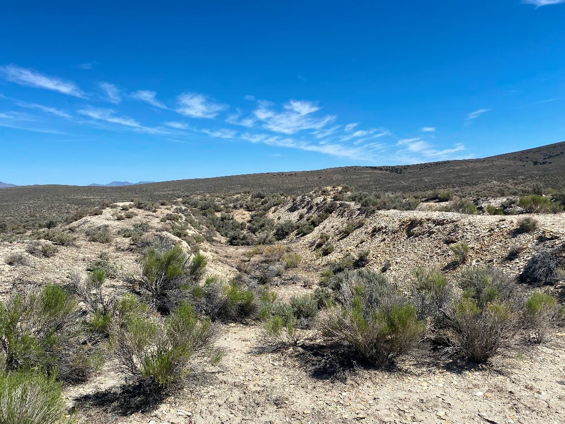
Since the initial collapse, the basin has incrementally filled with an unknown thickness of epiclastic rocks, mostly finely laminated tuffs which are the likely host to anomalous lithium values. The limits of this NW-trending, structurally controlled graben are defined by the Mountain Tuff and range from steep (fault) to shallow (unconformable). The Basin that hosts the Daisy Creek project covers about 18 square miles and is mostly composed of fissile, finely laminated sediments. i.e. mudstone and claystone, and tuffs. The basin is characterized by its low relief flanked by steeper topography held up by the volcanic tuffs. Several small drainages transect the basin and provide detailed views of the basin stratigraphy. A pronounced hill in the basin is capped by a Quaternary basalt flow.
The lure of high-grade lithium at depth in the Basin is extremely intriguing as the geologic environment is very similar to other lithium-rich settings in Nevada, including Clayton Valley. The area where Phillips Uranium drilled in 1977 is definable and re-drilling some of these holes should reproduce the results and significantly expand the understanding of the basin. GMV will be exploring the project in the summer 2023 and expects to apply for drill permits shortly thereafter.